Hundreds or even a thousand meters deep and continents wide, the scale and majesty of glaciers is difficult to comprehend. They command 10% of the world's land area and 70% of its freshwater. Their birth and death alter global sea levels to the tens or hundreds of meters. The ice within them always flows, behaving as a ductile solid below 60 meters; above this, the brittle ice cracks into crevasses up to 10 meters wide. When glaciers advance, they grind landscapes, leaving behind unmistakable calling cards in the form of carved mountains, valleys, and lakes. A few of these landforms are discussed below.
| Arête | thin, knife-like ridge of rock; forms when two glaciers erode parallel U-shaped valleys | 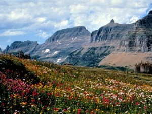 |
| Cirque | amphitheatre-like valley head; forms at the head of a valley glacier by erosion | 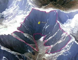 |
| Drumlin | elongated egglike hill formed when glaciers shape till sediments; tapered end points in direction that glacier flowed | 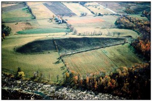 |
| Erratic | glacier-carried rock that differs in size and type from the rocks native to its resting area | 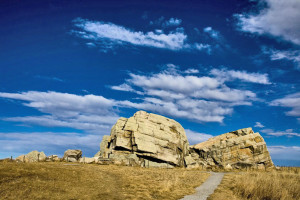 |
| Esker | ridge of sand and gravel, similar in appearance to a railway embankment; forms when sediments accumulate in melt water tunnels beneath glaciers | 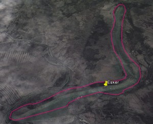 |
| Fjord | long, narrow inlet with steep sides or cliffs; forms when glaciers dig a U-shaped valley beneath sea level, and the valley later floods | 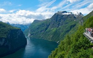 |
| Glacial pothole | also called a kettle; forms during glacial retreat when a piece of a glacier breaks off is buried, then melts | 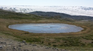 |
| Hanging valley | a tributary valley whose floor is higher than the main channel it leads into | 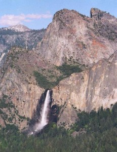 |
| Horn | an angular, sharply pointed mountain peak resulting from erosion due to multiple glaciers diverging from a central point | 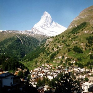 |
| Lateral moraine | parallel ridges of debris deposited along the sides of a glacier | 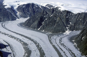 |
| Medial moraine | formed between two glaciers when they meet and their inner lateral moraines combine |  |
| Mega-ripple | up to 20 m high ripple created by glacial floods | 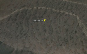 |
| Outwash plain | plain formed of glacial sediments deposited by melt water at the toe of a glacier | 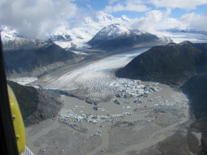 |
| Tarn | formed when a cirque fills with water to become a lake | 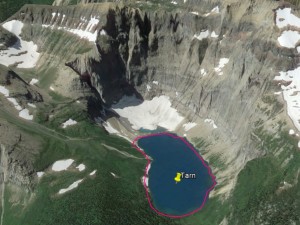 |
| Terminal moraine | moraine that forms at the toe of a glacier, marking its maximum advance | 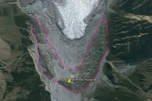 |
| U-shaped valley | glacier-carved valley with steep, straight sides and a flat bottom | 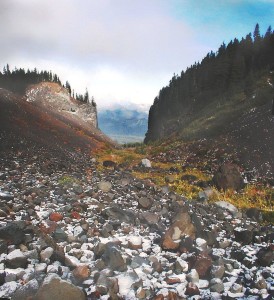 |

